Park Amenities
Rocky Fork is a rustic park that preserves the rugged natural beauty of Appalachia.
Accessibility
The Friends of Rocky Fork State Park, with funding from a Christopher and Dana Reeve Foundation Grant, have provided an All-Terrain Wheel Chair that allows individuals with limited mobility to experience the park. Please contact the park ranger for reservations at [email protected].
Rocky Fork is a rustic park that preserves the rugged natural beauty of Appalachia.
- At this time, the restroom facilities are limited to portable toilets at the parking lot.
- The park has a Ranger Station featuring a small gift shop when you turn right upon exiting the park.
- Rocky Fork offers three primitive tent-camping sites that can be reserved on the State Park website.
- Scroll down to see a listing of Rocky Fork's trails!
Accessibility
The Friends of Rocky Fork State Park, with funding from a Christopher and Dana Reeve Foundation Grant, have provided an All-Terrain Wheel Chair that allows individuals with limited mobility to experience the park. Please contact the park ranger for reservations at [email protected].
Take a Hike
Whether you want an accessible outing for the whole family or you want to get your heart rate up and gain some elevation, Rocky Fork has options for whatever adventure you're looking for!
Trails
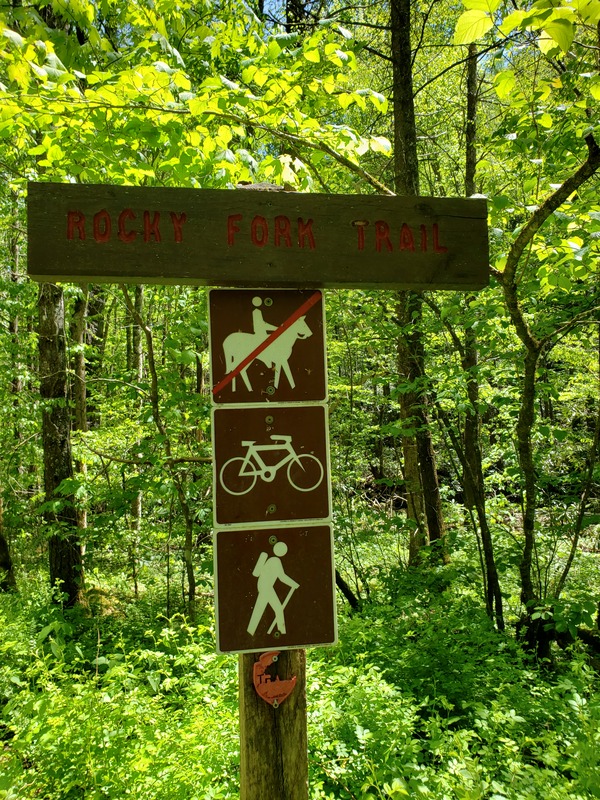
Rocky Fork Trail--This is the main access road into Rocky Fork State Park and the easiest way to access all other trails in the park. Easy. 0.70 miles.
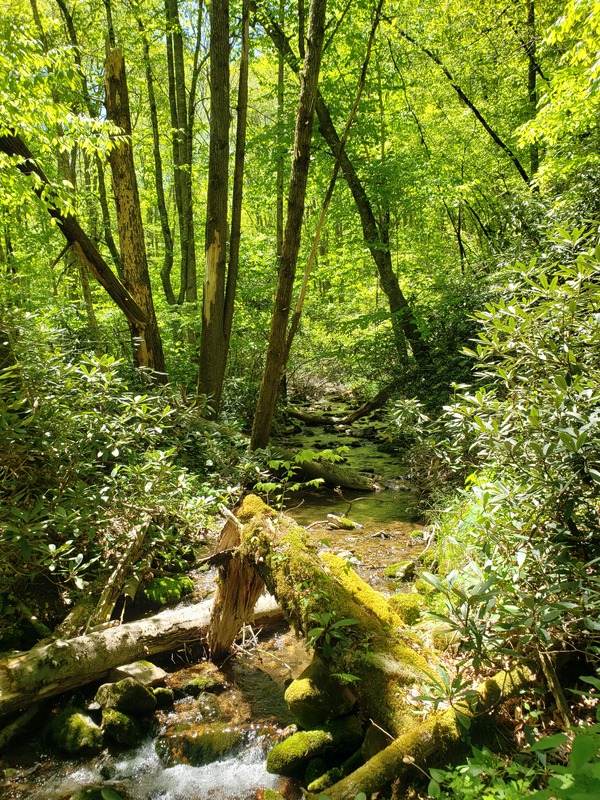
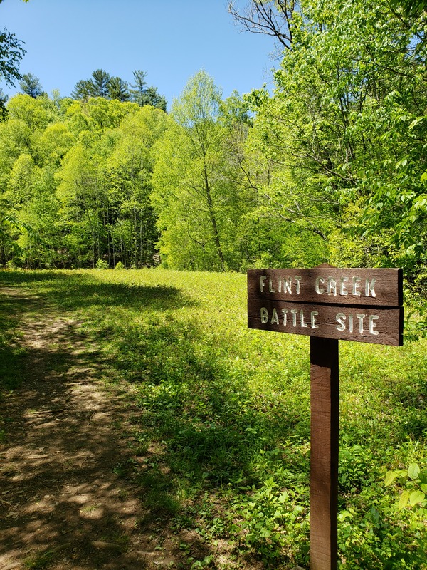
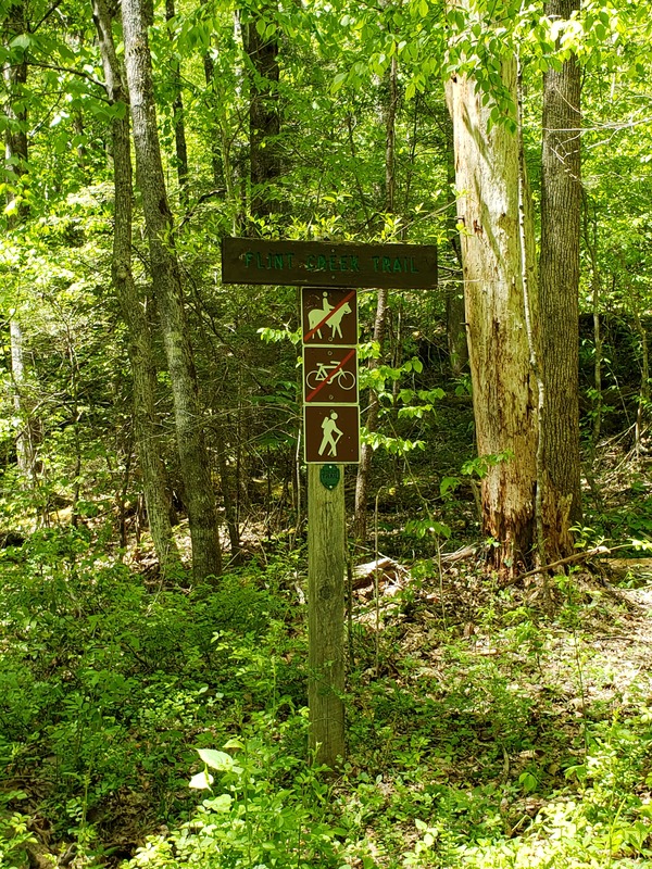
Flint Creek Trail/ Route--This trail follows along Flint Creek so you can view and hear the water. There are several bridged water crossings. The trail passes the Flint Creek Battle Site. From this trail you can access Blockstand Creek Trail, Flint Mountain Trail, and the Appalachian Trail Access Route. Moderate, 2.05 miles.
Blockstand Creek Access Trail--Connects from Flint Creek Trail to Blockstand Creek Trail. Gains 600ft a mile. Many interesting plant and mushroom communities. Moderate, 0.90 miles.
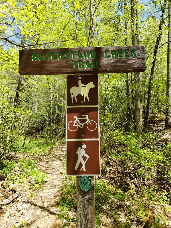
Blockstand Creek Trail--Traverses Blockstand Ridge and follows Blockstand Creek. Connects to Headwaters Trail and Flint Creek Trail. Strenuous, 4.20 miles.
Headwaters Trail-- Whether for headwaters fly fishing or your love of high country streams, this trail is beautiful during every season. Connects to Blockstand Trail, Birchfield Camp Trail, and White Oak Flats. Moderate, 1.0 mile.
Birchfield Camp Trail-- This old logging road will take you through the park into the Cherokee National Forest. It leads to a (now drained) 5-acre high country lake that was built by loggers for wildfire suppression. Strenuous, 2.70 miles.
Flint Mountain Trail-- This is one of Rocky Fork's only dry ridge ecosystems. As it weaves in and out of the state park and Cherokee National Forest, you will likely see signs of bear, ruffed grouse, and wild turkeys. Access from Rocky Fork Road (wet crossing) or the end of Flint Creek Trail. Strenuous, 4.90 miles.
Whitehouse Ciffs Trail--This short, steep trail travels below the 200-foot white quartzite Whitehouse Cliffs, then continues upward to a rewarding view of the park atop Whitehouse Knob. Elevation 3440. Train head at parking lot near the fire pit/interpretive programming area. Moderate/Strenuous, 1.0 mile.
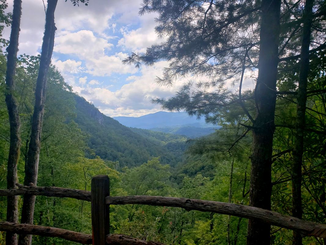
White Oak Flats Trail-- Even though little to no evidence remains today, this area was once home to several cabins and a functional sawmill. This is a great place for viewing Appalachian Wildlife or a picnic on an out-and-back hike. Features a vista point. Connects to Rocky Fork Trail, Flint Creek Trail, Headwaters Trail, Birchfield Camp Trail. Moderate/Strenuous, 1.30 miles.
Appalachian National Scenic Trail Access Route-- Rocky Fork's gateway to the AT. At the end of Flint Creek Trail. Moderate. 0.35 miles.
MAPS
- Printable Trail Map - Click here to download
- Offline-Use GPS Map - Click here to download
